By Arnold Adler
Contributing Writer
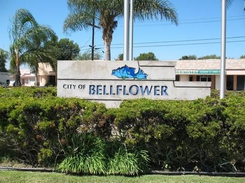
BELLFLOWER — The state’s population has decreased since the 2010 census, but the city of Bellflower’s 2020 Census count has found the population has remained fairly stable and previously approved voting district maps need not be altered, a municipal consultant said.
Redrawing voting district boundary lines could cost about $85,000, city officials said.
The City Council Oct. 25 held the fourth mandated census map public meeting and approved an ordinance adopting the existing map.
Final action is expected at the Nov. 8 council meeting.
“The fourth hearing will present the current district map as the map for re-adoption as it remains population balanced with the 2020 Census data,” City Clerk Mayra Ochiqui said in a report to the council.
Allison Torres, the city’s contracted redistricting outreach consultant, hosted the fourth meeting in which community members were invited to comment electronically via a Zoom webinar.
The city held the third redistricting public hearing Oct. 11 where the city’s consultants provided an update on 2020 Census data and the population balances of the current redistricting map.
Approved Bellflower boundaries for the municipal election in November, 2022, are:
District 1, across the northern portion of the city, with Somerset Boulevard the southern boundary to Bellflower Boulevard, then north to a point south of Rosecrans Avenue. Councilman Ray Hamada represents the district.
District 2 extends south from a point south of Rosecrans between Bellflower Boulevard and the city’s eastern limits (the San Gabriel River) to the diagonal Pacific Street extending south of Caruthers Park.
Mayor Dan Koops represents the district.
District 3 is generally bounded by Somerset Boulevard on the north between Bellflower Boulevard on the east to the city’s west limits; then south to a point south of Maple to Clark Avenue, then north to Flower Street past the Bellflower Chamber of Commerce office. District 3 is represented by Councilman Sonny Santa Ines.
District 4 occupies the southwest corner of the city, from the city’s western limits east to Ardmore Avenue and generally south of Maple Street. Councilman Victor Sanchez represents the district.
District 5 is at the southeast corner of the city east of Ardmore Avenue and south of the diagonal Pacific Street and includes the Post Office, City Hall, library and courthouse. Mayor Pro-Tem Ray Dunton represents that district
Neighboring Downey conducted its second hearing Oct. 12 and Monterey Park has started its process.
Whittier has not yet started the process because of possible confusion with the upcoming April municipal election, City Clerk Rigo Garcia.
Monterey Park and Downey have four voting districts and a fifth at-large district. Whittier has four City Council districts and elects its mayor citywide.
Alhambra, which has five voting districts, has conducted the mandated public hearings and plans additional workshops in November before the City Council considers a preliminary draft Dec. 13, a city spokesperson said.